Drone survey has revolutionized the field of geospatial data collection. This transformative technology has opened up new possibilities across multiple industries from construction, agriculture to mining and infrastructure development. Aerial data, when captured and processed with precision, provides a level of insight that traditional ground-based surveys often struggle to achieve. Whether it’s for topographic mapping, site monitoring, or infrastructure inspection, drones are fast becoming indispensable tools for professionals seeking speed, accuracy, and safety.
Read Full: https://www.sunconengineers.com/drone-surveying-company-in-india/
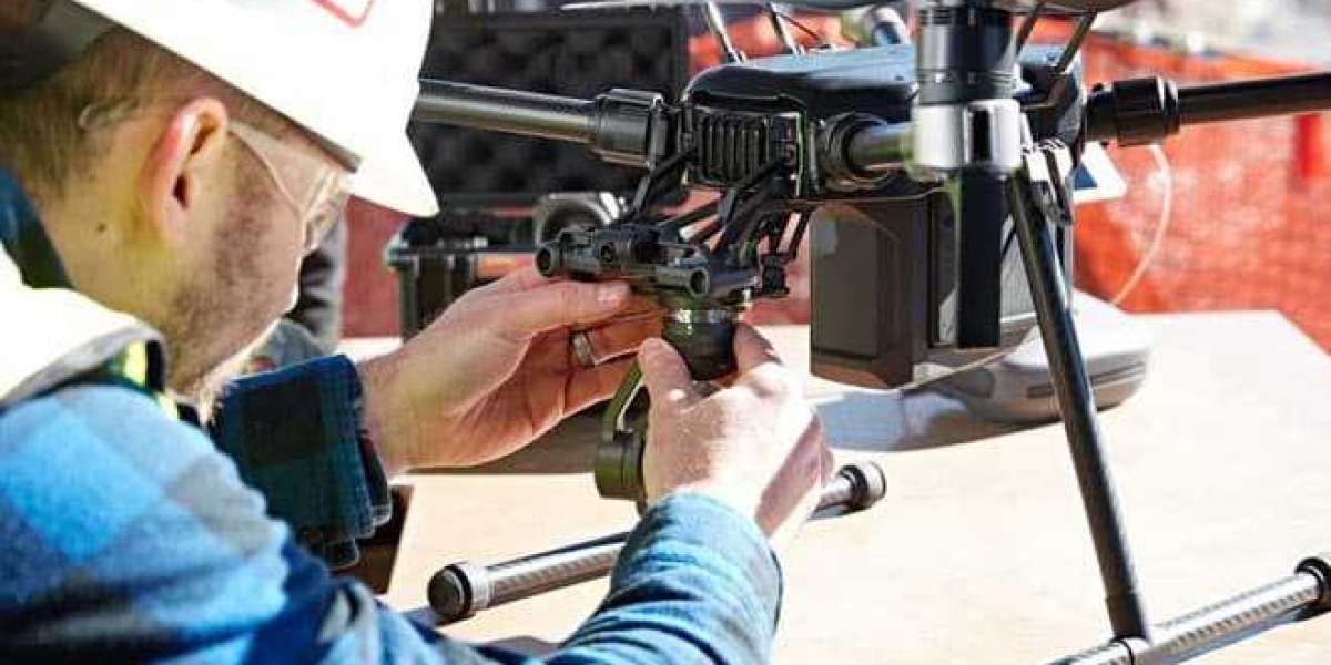
Drone surveying involves using unmanned aerial vehicles (UAVs) equipped with high-resolution cameras, GPS modules, advanced sensors such as LiDAR and multispectral imaging devices. These drones are flown over targeted areas, capturing georeferenced images or point cloud data that is later processed using sophisticated software to create 2D orthomosaic maps, 3D models, and elevation profiles. A leading drone surveying company often provides end-to-end services from flight planning, data acquisition to processing and actionable reporting.
Technically, drones used in surveying are equipped with GPS, real-time kinematic (RTK) or post-processed kinematic (PPK) correction systems to improve positional accuracy. These tools enable drones to deliver data accurate to within a few centimeters. This level of precision is vital for engineering-grade surveys used in civil construction, road alignments, and large-scale land development. Most commercial drones also use autonomous flight software, which ensures consistent altitude, overlap, coverage minimizing human error and increasing efficiency.
Drone surveying encompasses various methods depending on the sensor technology employed. Photogrammetry is one of the most commonly used techniques, where multiple overlapping photographs are stitched together to create accurate 2D and 3D reconstructions. This method is frequently used by drone survey companies for applications like land boundary identification, earthwork planning, and urban development projects. Photogrammetry excels in areas with clear visibility, defined features, making it ideal for surveying roads, buildings, and open fields.
LiDAR (Light Detection and Ranging), on the other hand, is particularly effective in areas with dense vegetation or uneven terrain. Unlike photogrammetry, which relies on visible light, LiDAR sensors emit rapid pulses of laser light that bounce back after hitting surfaces. This allows for the creation of high-resolution digital elevation models even beneath tree canopies. Drone lidar services are particularly valuable in forestry, archaeology, flood risk modelling, power line inspections, where visibility from standard imaging might be obstructed.
In the construction sector, drone surveys are used for site preparation, grading analysis, and progress monitoring. By comparing as-built models to project plans, contractors can identify discrepancies early, avoid rework, and stay on schedule. Many construction firms now collaborate with drone mapping services to ensure regular updates, volumetric calculations of stockpiles and earthworks.