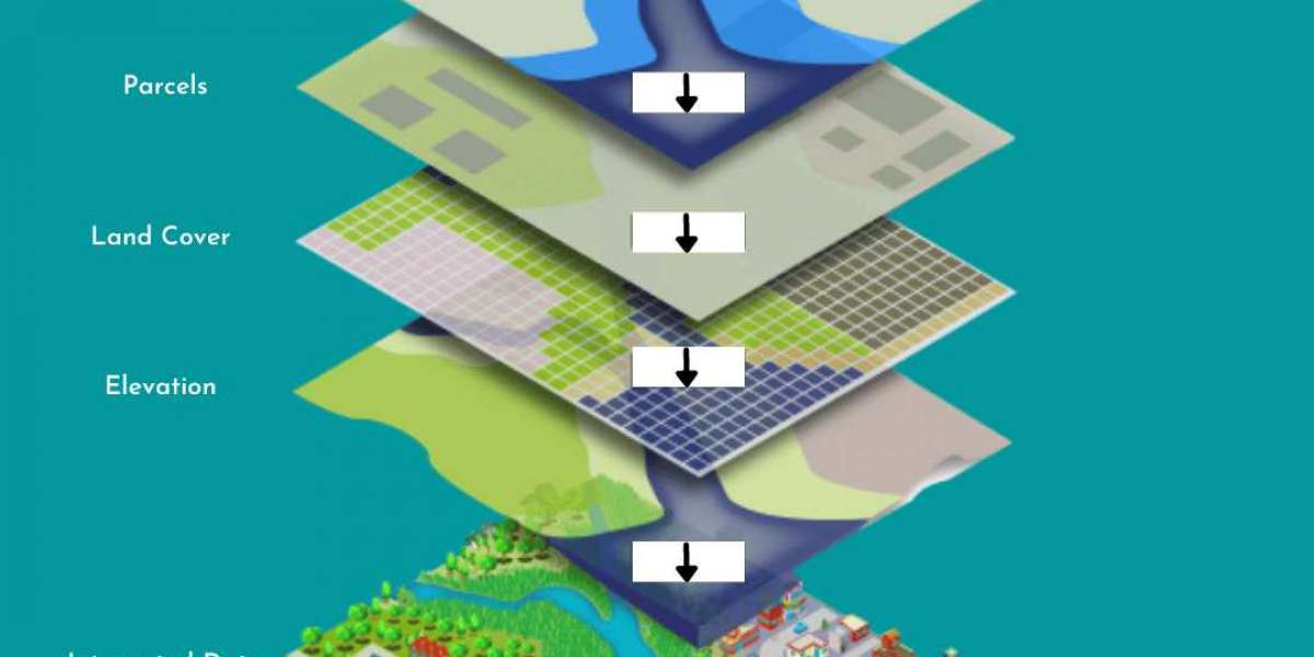
Geographic information system (GIS), as we all know, is a computer-based system for capturing, storing, checking, and displaying data related to positions on earth’s surface. GIS can help individuals and organizations to better understand spatial patterns, topography and relationships between different features on earth surface. They are attached to various operations and numerous applications such as engineering, planning, management, transport/logistics, insurance, telecommunications, and business. Conventional method uses in civil Engineering for surveying, mapping and hydrological modelling is changing day by day due to use of GIS technology.
After the implementation of the state-of-art technology for providing services in the infrastructure sector, Suncon Engineers Pvt Ltd has added a complete new set of technology-based services in its bucket parallelly to the ones that are used before.
By looking at the current scenario (globally), with the use of GIS technology, one can work very effectively in the sectors viz., Natural Resources Preservation, Environmental Risk Assessment Insurance, Flood Management, Smart City Urban Planning, Irrigation – Waste Disaster Management, Defence Security, Forest Management, Land Research Management.
As per the sectors mentioned above, Suncon has started successfully delivering its services such as Photogrammetry, GIS Mapping (such as Utility Mapping, Topographic Mapping, Thematic Mapping, Remote Sensing, Geological Mapping, Contour Mapping), Surveys (such as Aerial Lidar, Mobile Lidar, UAV Lidar, Terrestrial Lidar), BIM in the above-mentioned Sectors.


